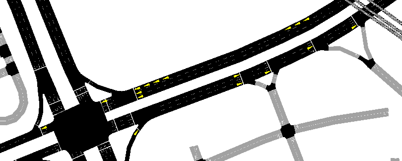
I'm trying out mesoscopic simulations with a map that I got from OpenStreetMap. If I'm interpreting the GUI correctly, it looks like vehicles are behaving as if points where one edge connects to another is a stop sign, even if there should not be a stop sign there and when the usual microscopic simulations do not have vehicles stop at those points. The road map is a huge file and it's not clear to me what exactly is encoded everywhere. Am I misinterpreting the mesoscopic simulation video or is there likely to be a problem with OpenStreetMap or the interpretation of it?
While I'm asking about OpenStreetMap, let me ask another question. This is about OpenStreetMap only, and does not concert mesoscopic simulations. Where I am simulating (Beer-Sheva, Israel), OpenStreetMap's intersections with traffic lights are almost 100% incorrect, with several independent traffic lights where there should be just one traffic light and spurious stop lines in the middles of the intersections. Might there be a way to correct most or all of these badly modeled intersections at once?