Hello,
We are using uDig Version 1.1.0 and want to use geotiffs as
background map layer. These geotiffs are produced using Geographic Imager following
attached procedure . Appearently, these geotiffs (attached one example file and
its dumped header: grundriss2.tif) open well in ArcView GIS and Global Mapper,
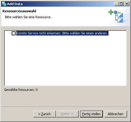
but throw following error in uDig:
!MESSAGE Error processing extension java.lang.ClassCastException: [J cannot be
cast to com.sun.media.imageioimpl.plugins.tiff.TIFFIFD
!STACK 0
java.lang.ClassCastException: [J cannot be
cast to com.sun.media.imageioimpl.plugins.tiff.TIFFIFD
at
com.sun.media.imageioimpl.plugins.tiff.TIFFImageMetadata.getIFDAsTree(TIFFImageMetadata.java:175)
Do you have a solution for this issue? Do you know any
workaround solution to produce successfully geotiffs from an image file to be
used in uDig?
I thank you very much for your attention
Best regards,
Quirin HAMP
_________________________________
Albert-Ludwigs-Universität Freiburg
Department of Microsystems Engineering
Georges-Köhler-Allee 103
79110 Freiburg - Germany
Tel: +49761/203-7158
Fax: +49761/203-7222
e-mail: quirin.hamp at imtek.uni-freiburg.de
Internet: http://www.imtek.uni-freiburg.de/emp