[Date Prev][Date Next][Thread Prev][Thread Next][Date Index][Thread Index] [List Home]
[udig-devel] Re: Raster Data Images


My name is Patrick Upson. I am currently a fourth your computer science major on work term at The Bedford Institute of Oceanography, with the Department of Fisheries and Oceans in Dartmouth, Nova Scotia. I have been assigned a task of writing a Desktop GIS access program, preferably through the use of open source tools. uDig is an excellent program, which my employer was very interested in. The only problem with the current application is that it does not support raster images such as .raw, or .tif files. I don't know much about what the raster images are used for, but I would like to develop a plug-in for uDig to handle these file formats. I am wondering if there will be any issues with me developing these plug-ins, or if you currently have a member of your team who is already developing plug-ins for these file types. If so, could you tell me who to contact to see if my services can be useful? I appreciate any insight you can provide me with.

Thank you for your time,

Patrick Upson


Hi Patric:

Thanks for contacting us. We actually have many people working on plugins for uDig (and raster support).

The uDig application is built on top of the geotools library. There are several people working very hard on all kings of raster support for this library. Martin Desruisseaux is usually the best contact for this kind of thing (actually he seems to do everything, but that includes raster support).

On the uDig side of things there is Amr (amr@xxxxxxxxxxxxxxx), Mark (mleslie@xxxxxxxxxxxxxxx) who have been working on the intergration. They are currently making wizards for all the raster formats supported by geotools. And finally there is Jesse (jeichar@xxxxxxxxxxxxxxx) who seems to know everything about both udig and rendering in general.

Any (and all) of these people may be able to help, or make use of your coding (and testing) skills.

But lets start things off with a question - are you working with: "world plus image" files (ie you have a tiff file and another text file with the lat/lon coordinates), or are you working with GeoTiff files (where the coordinates are embeded into the tiff file).

Jody Garnett
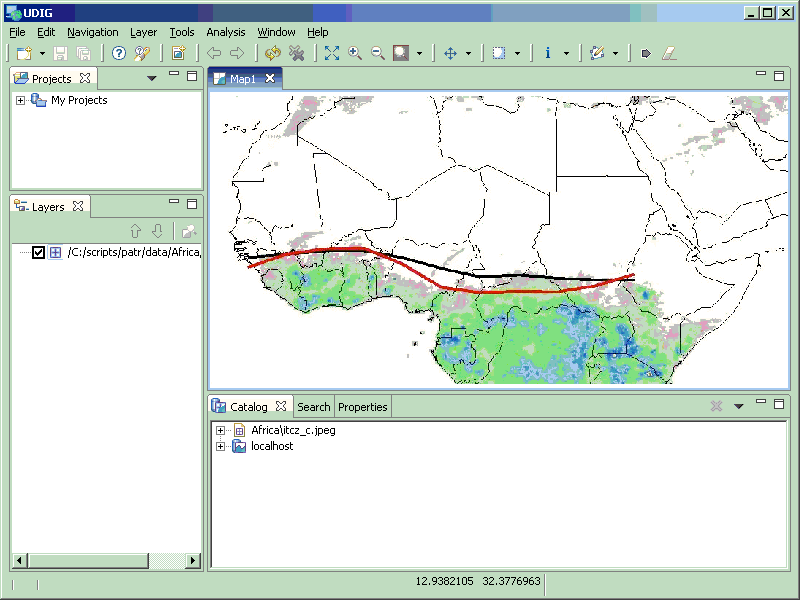
--- Begin Message --- Thanks to Mark, Amr & Jesse for this one. (Oh and the Geotools GridCoverage crew).

And that is basically then *end* of the great GridCoverage changeover. We are back to everything we supported before the move.

Jody


GIF image

_______________________________________________
User-friendly Desktop Internet GIS (uDig)
http://udig.refractions.net
http://lists.refractions.net/mailman/listinfo/udig-devel

--- End Message ---

Back to the top