Yes Jody, you are correct. Labels and tiled rendering do not work well
together. I looked into this briefly at one point but I didn't find a
decent solution. I believe what we are going to need is one label
renderer for each tile rather than just a single label renderer.
I may have some time over the next few weeks to look at this further.
Not sure at the moment.
Emily


Jody Garnett wrote:
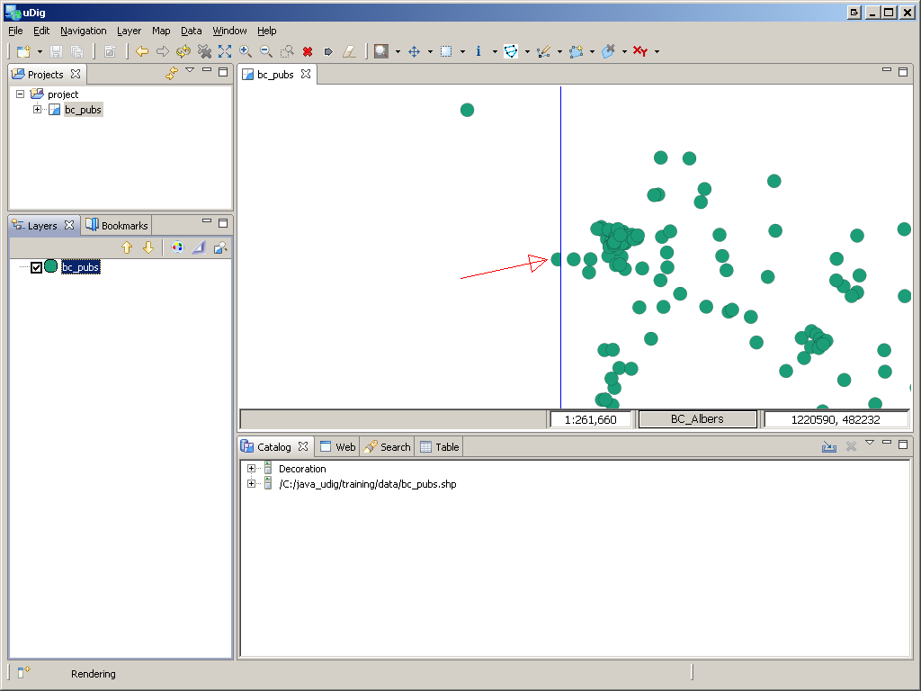
Hi Emily: This may be another corner case; I was testing out tiled
renderer with the "climate change intergration showcase" dataset for
foss4g this year. And labels went absolulty bonkers... this test is
with the last udig 1.2-M3 release and does not reflect any recent work
you have done.

Near as I can tell the label cache implementation is not being reset
on a tile by tile basis; you may even wish to store a tilecache in the
render context you create for each tile? I am not sure how it should
be done ...

Jody


------------------------------------------------------------------------
_______________________________________________
User-friendly Desktop Internet GIS (uDig)
http://udig.refractions.net
http://lists.refractions.net/mailman/listinfo/udig-devel