[
Date Prev][
Date Next][
Thread Prev][
Thread Next][
Date Index][
Thread Index]
[
List Home]
|
[sumo-user] Elevation data from geoTIFF
|
Dear all,
I am trying to get elevation data in combination with OSM file using
NETCONVERT: Even though I have all the necessary data, I still cannot
get the height in my network shape. Can someone help me to find out
what am I doing wrong?
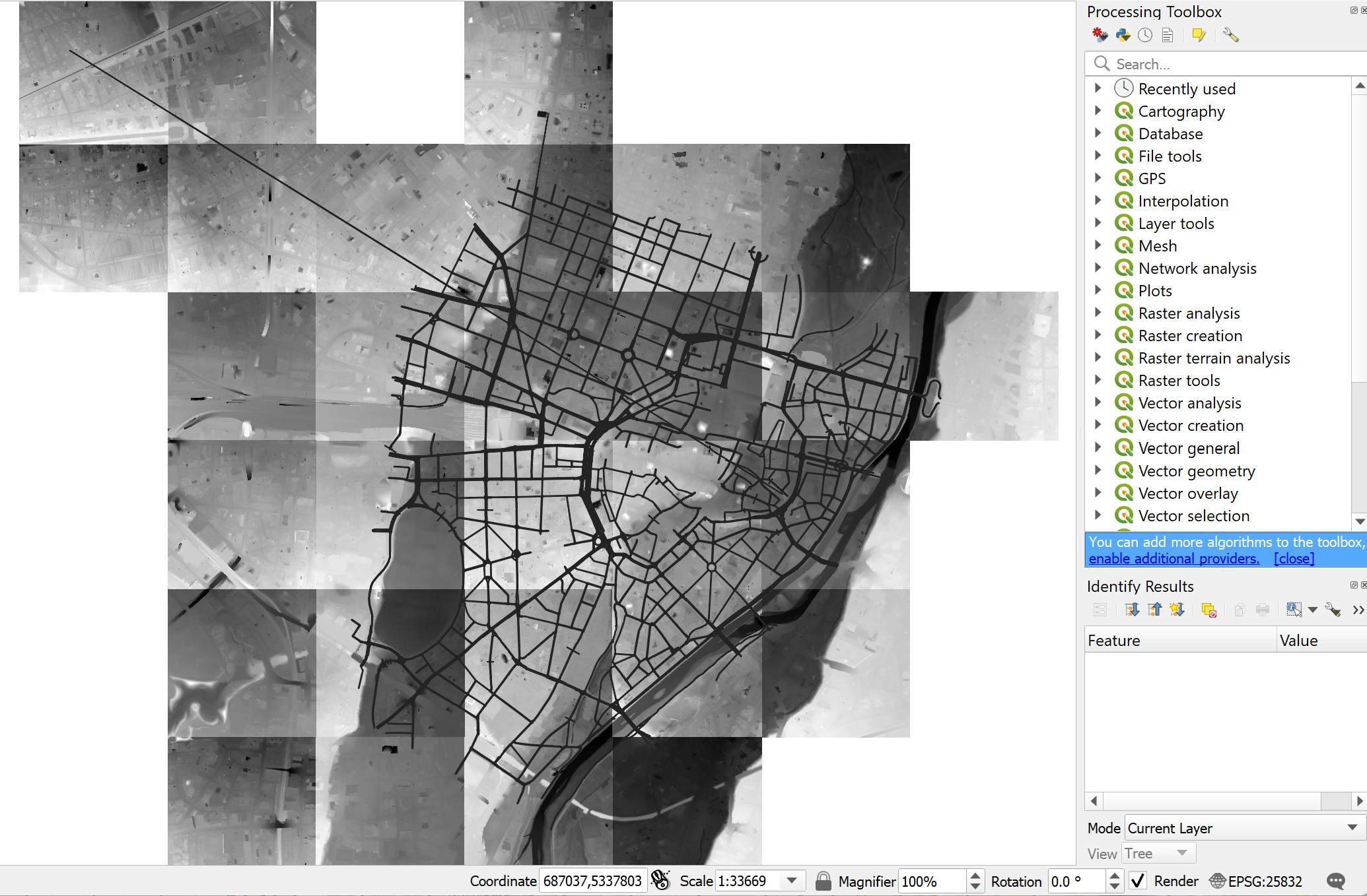
Here is my netconvert command: netconvert --osm-files map_muc.osm
--osm.all-attributes -o sumonet.net.xml --heightmap.geotiff
690_5334.tif,690_5335.tif,690_5336.tif,690_5333.tif,691_5333.tif,692_5333.tif,691_5334.tif,691_5336.tif,692_5334.tif,692_5335.tif,688_5333.tif,688_5334.tif,688_5335.tif,689_5333.tif,689_5334.tif,689_5334.tif,689_5335.tif,691_5335.tif,689_5332.tif,688_5332.tif,688_5336.tif,689_5336.tif,688_5337.tif,690_5332.tif,691_5332.tif,692_5336.tif,693_5335.tif,688_5338.tif,687_5337.tif,690_5337.tif
--proj "+proj=utm +zone=32 +ellps=GRS80 +towgs84=0,0,0,0,0,0,0
+units=m +no_defs"
I am downloading the tiff data from https://geoportal.bayern.de/ and
here is the extent of my network all inside the tiff files.
Thanks,
Sasan
Attachment:
image.png
Description: PNG image