Hi Steve,
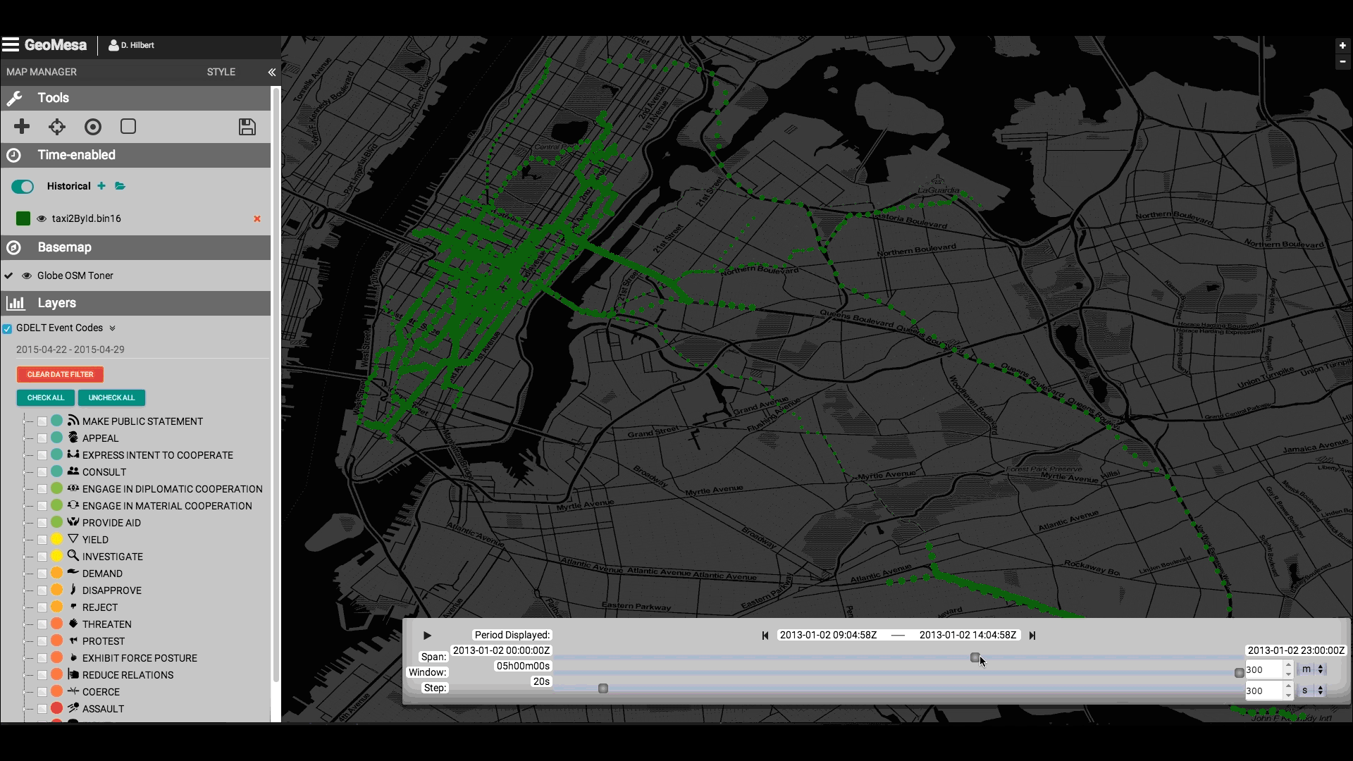
Great question. That view is from a CCRi application called
Stealth. We used a combination of OpenLayers, Angular, and vanilla
_javascript_ to build a layer/analysis manager which can animate 10s
of millions of points (sans WebGL).
Generally, OpenLayers already handles the typical/easy tasks with
_javascript_ mapping. For the hard jobs (like animating points and
wiring charts and histograms to time windows), one has to write a
fair bit of custom _javascript_.
Cheers,
Jim
On 09/29/2017 03:29 PM, Steven Zeng
wrote:
Hi all,
GeoMesa is a very interesting project and I am able to follow
tutorials provided to build some simple prototypes. I am curious
if there is any tutorial/guidance for building an interactive
data analytics screen like the on on GeoMesa's home page ( http://www.geomesa.org/img/taxi.gif)
_______________________________________________
geomesa-users mailing list
geomesa-users@xxxxxxxxxxxxxxxx
To change your delivery options, retrieve your password, or unsubscribe from this list, visit
https://dev.locationtech.org/mailman/listinfo/geomesa-users
|